Road Closures And Flooding Updates In Southland
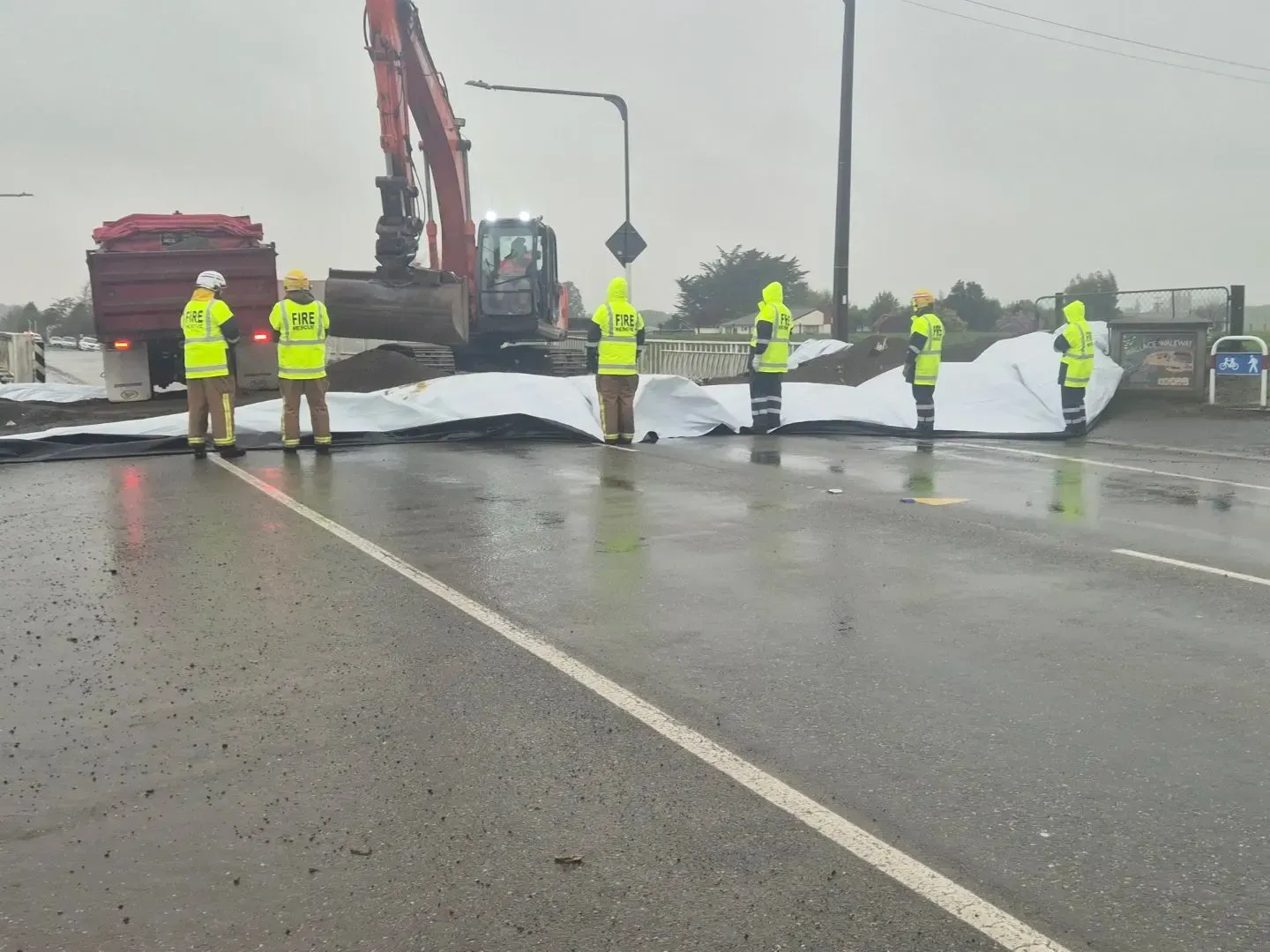
Several Southland roads have been closed due to flooding and hazardous conditions, with updates provided by local authorities. Related: MetService Issues Rain Watch For Southland & Clutha
Update 12:25pm: NZTA Road Closure: SH 1 Waihola to Milton
Due to flooding, State Highway 1 is closed between Waihola and Milton. Avoid the area or delay your journey if possible.
Updated 11am: All state highways in Southland are open. We have some patches of surface flooding as listed below. Please slow down and drive to the conditions:-
SH6 Lumsden-Dipton highway at the Bell Road intersection
SH6 Kingston-Garston hgihway near Kingston
SH94 Waimea highway north of Mandeville
SH96 Winton-Wreys Bush highway at Hundred Line Road intersection
SH99 Orepuki-Riverton highway at Stick Road
SH99 Tuatapere-Orepuki highway at Block Road
Motorists are advised to drive cautiously on the following roads due to potential hazards:
Dipton-Castlerock Road (Castlerock end).Riversdale Waikaia Road.Felton Road (White Hill).Gallagher Road (Mossburn).Centre Hill Road (Mossburn).Edwards Road (Mossburn).Sutherland Road (Mossburn).Riverton Otautau Road (Otautau).For ongoing updates and more detailed information, refer to the Southland District Council, Environment Southland, and the New Zealand Transport Agency.
Clutha’s Emergency Operations Centre was stood up overnight and we’re monitoring the Clutha River.
We have had requests for sandbags which have been delivered to the Milton Community Library for people to collect. Sandbags at King Engineering, Balclutha however, you will need to bring your own shovel.
Roads
Below is a list of the roads affected. However, due to the nature of this event and how widespread it is we are unable to sign out every patch of surface flooding. Our contractors are focusing on the the most dangerous areas.
Where possible we advise that people should stay home and not drive around taking photos.
If you see a Road Closed sign please don’t drive past it as we don’t want people risking their own safety.
Flooding:
Mt Wallace Rd ROAD CLOSEDSummerhill Rd ROAD CLOSEDKelso block at West Otago ROADS CLOSEDFinch Rd ROAD CLOSEDCircle Hill Rd ROAD CLOSEDButts Rd ROAD CLOSEDNorth Branch Rd ROAD CLOSEDAlexander Rd ROAD CLOSEDTable Hill Rd ROAD CLOSEDTitri Rd ROAD CLOSEDElliotvale Rd ROAD CLOSEDToko Mouth Rd ROAD CLOSEDBack Rd, MiltonKakapuaka Rd ROAD CLOSEDWaitepeka Rd/Guernsey Hill Rd ROAD CLOSEDKaroro Creek Rd ROAD CLOSEDGlenomaru Rd ROAD CLOSED (no signs)Kaka Point Rd at Brookdale Rd and by 50km signPillans Rd/Clutha Valley RdWairuna Settlement RdBrooksdale Rd, West OtagoBerwick Rd/Young RdGormack St/Moir St intersectionKai Highway at Railway BridgeHigh Street/Stewart Street BalcluthaBarnego RdFrances Street, Balclutha ROAD CLOSEDTaieri Ferry Rd ROAD CLOSEDCoast RdBruce Road, Milton CLOSEDTapanui- Waikoikoi Highway CLOSEDAhuriri Flat Road CLOSEDKoi Flat Road, Pomahaka CLOSEDPapatowai Highway, Maclennan CLOSEDCentre Road, Maclennan CLOSEDRongahere Road CLOSEDPuerua Valley Road, Lochindorb CLOSEDWaikoata Valley Road CLOSEDClutha Valley Road, HillendMoir Street, BalcluthaMilton HighwaySlips:
Owaka Highway by RomahapaPuaho RoadThe Nuggets Rd ROAD CLOSEDFinlayson RdAkatore RdMoturata RdSummer Hill RoadFinalyson Road, WaiholaMoturata Road, Taieri BeachPapatowai Highway, TararaTautuku BeachWater and Wastewater:
Our water wastewater teams are busy out monitoring and addressing any issues affected by the heavy rainfall.
Many of our wastewater pumpstations have had overflows. We advise people to stay out of floodwaters and treat as there is a chance that the water is contaminated.
Waste Services
We are closely monitoring the ongoing red weather warning for heavy rain in Clutha and its impact on our waste and recycling services.
The safety of our team and the community is our top priority. We are reviewing the situation constantly and may need to make changes to our services to ensure everyone's well-being.
What to do:
Stay Informed: Please check our website and social media pages regularly for updates on service changes and disruptions.Report Issues: If you notice any issues related to refuse or recycling collection in your area, please report them to us through our website or social media channels.Prioritise Safety: Please exercise caution and avoid unnecessary travel during this severe weather event, if you can wait until the next collection please do.


