BGS to update geological maps of Strathmore - British Geological ...
BGS news
A three-year project has begun to revise geological maps of Strathmore, which were last surveyed nearly 100 years ago.
10/06/2024 By BGS Press
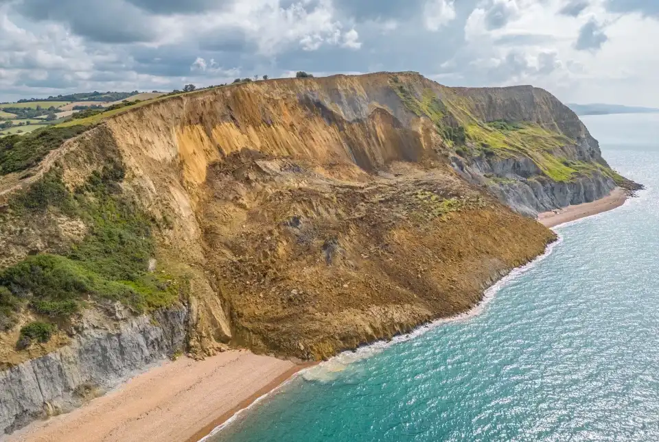
Group of geologists in hard hats looking up at the Arbroath Cliffs from the rocky beach. BGS © UKRI
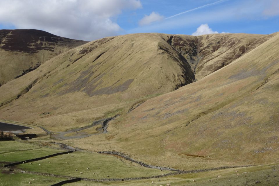
A re-survey of Strathmore, eastern Scotland, has been commissioned under BGS’s national mapping programme. The area was last surveyed in the 1880s and the re-survey will provide updated geological data and information for the region.
Field studies will be conducted between Montrose and Alyth from May to June 2024 and in September 2024 and spring 2025. The field survey will be done on foot, making observations of rock exposures, soils and the form of the landscape. Geological maps will then be drawn up using the field observations alongside analyses of borehole records, historic maps and remote-sensing datasets, such as digital terrain models and aerial photos.
The geology of the region includes the sandstones, siltstones and conglomerates of the ’Old Red Sandstone’, which were deposited by rivers in hot and dry conditions some 400 million years ago in the Devonian Period. The reddish colour of these rocks and the rich soils derived from them are characteristic of the region. The higher ground of the Ochil Hills is underlain by volcanic rocks, which are typically associated with acidic soils.
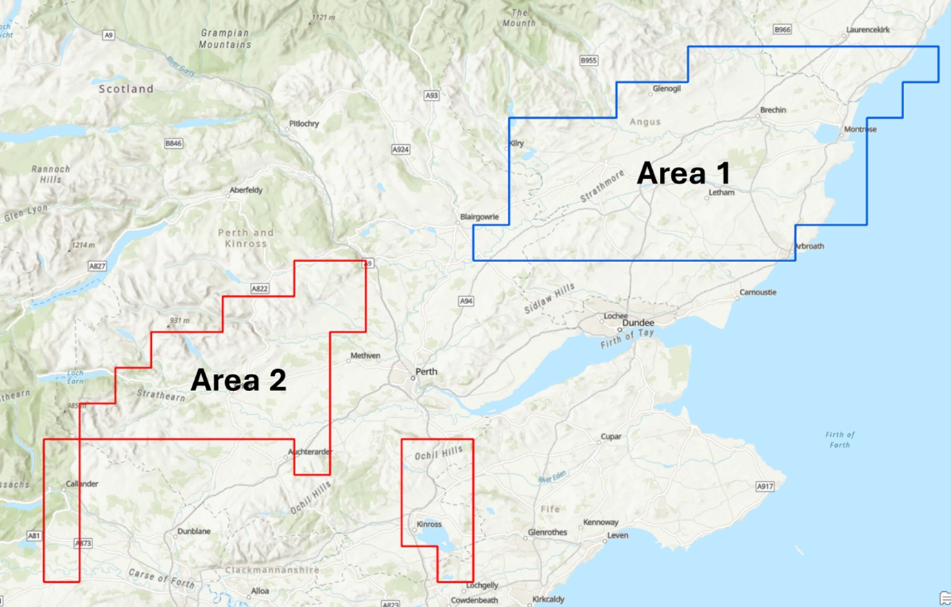
Area one, Montrose to Alyth, will be surveyed from May to June 2024 and in September 2024 and spring 2025. Area two, Crieff, will also be surveyed in spring 2025. Contains OS data © Crown copyright and database rights.
The survey will address questions about the arrangement of the sandstones, conglomerates and volcanic units and develop new understanding of how they have been deformed by faulting and folding.
The results will also help BGS to better understand ground conditions and the pathways for groundwater flow, supporting groundwater management and assessments of geothermal resource potential. In the future, this will help farmers and other rural businesses identify more reliable groundwater sources and make decisions around investment in ground-source heat pumps. Geological maps produced from this work will form part of the national geological map, which can be freely viewed on the BGS maps portal or on the GeoIndex (onshore) on the BGS website. Research papers and reports will also be accessible via the BGS website and NERC Open Research Archive services.
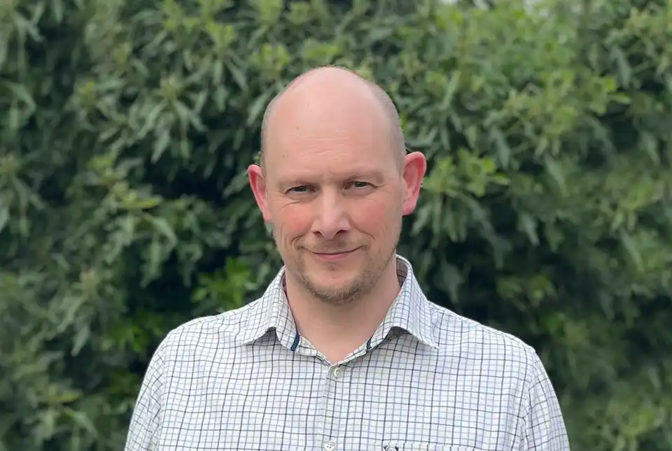
The Strathmore area was last surveyed nearly 100 years before we knew about plate tectonics and before there were aerial photos. With this re-survey, we can re-shape our understanding of a key part of Scotland’s geological past by looking at these rocks and structures with new eyes, both in the field and using modern digital data resources.
Katie Whitbread, BGS Survey Geologist and Strathmore project lead.
For further information about BGS and the Strathmore project, please contact BGS enquiries ([email protected]) or telephone 0115 9363100.
BGS blogs
A-roaring display16/05/2024
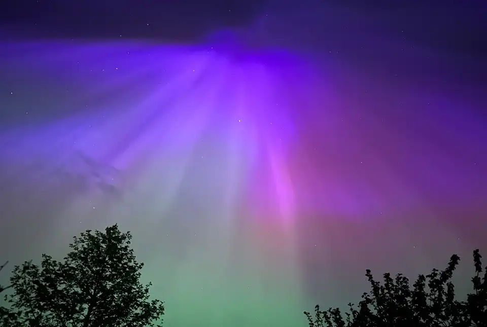
The dazzling and colourful aurora borealis, or northern lights, observed by many across the UK last weekend was one of the most extreme and long-lasting geomagnetic storms recorded in the last 155 years.
Show more
TerraFIRMA is a five-year, NERC-funded, Multi-Centre National Capability (MCNC) UKRI award running from April 2022 to March 2027
Show more
BGS news
Evolving policies in the face of climate change: BGS data can help25/08/2023
Climate change is increasingly recognised as a major challenge for organisations, with the need for adaptation driving a wave of policy updates and reforms across multiple sectors. BGS data holdings are relevant to many of these changes and the following examples outline how these data packages can be applied.
Show more
How can we make this section better?*
How can we make this section better?*CAPTCHAPlease select a reason*
How can we make this section better?*
How can we make this section better?*CAPTCHA